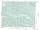
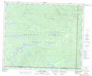
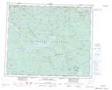
Maps showing Haa-ak-suuk Creek, Clayoquot Land District, British Columbia
Haa-ak-suuk Creek is a River located in Clayoquot Land District, British Columbia.
- Latitude: 49° 14' 43'' North (decimal: 49.2452776)
- Longitude: 125° 22' 15'' West (decimal: -125.3708333)
- Topography Feature Category: River
- Geographical Feature: Creek
- Canadian Province/Territory: British Columbia
- Location: Clayoquot Land District
- Atlas of Canada Locator Map: Haa-ak-suuk Creek
- GPS Coordinate Locator Map: Haa-ak-suuk Creek Lat/Long
Haa-ak-suuk Creek NTS Map Sheets