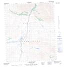
Maps showing Antler Lake, Yukon
Antler Lake is a Lake located in Yukon.
- Latitude: 64° 53' 3'' North (decimal: 64.8841666)
- Longitude: 138° 18' 2'' West (decimal: -138.3005556)
- Topography Feature Category: Lake
- Geographical Feature: Lake
- Canadian Province/Territory: Yukon
- Atlas of Canada Locator Map: Antler Lake
- GPS Coordinate Locator Map: Antler Lake Lat/Long