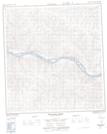
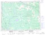
Maps showing Ballarat Creek, Yukon
Ballarat Creek is a Unincorporated area located in Yukon.
- Latitude: 62° 53' 37'' North (decimal: 62.8936111)
- Longitude: 138° 58' 32'' West (decimal: -138.9755556)
- Topography Feature Category: Unincorporated area
- Geographical Feature: Locality
- Canadian Province/Territory: Yukon
- Atlas of Canada Locator Map: Ballarat Creek
- GPS Coordinate Locator Map: Ballarat Creek Lat/Long
Ballarat Creek NTS Map Sheets