Canada Topographic Maps

Ballarat Creek Topo Maps

Topography maps and Latitude/Longitude Location

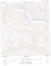
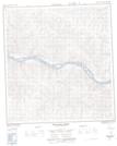
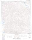
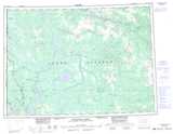
Maps showing Ballarat Creek, Yukon

Ballarat Creek is a River located in Yukon and has an elevation of 601 meters.

  • Latitude: 62° 53' 38'' North   (decimal: 62.8938888)
  • Longitude: 138° 58' 39'' West   (decimal: -138.9775)
  • Topography Feature Category: River
  • Geographical Feature: Creek
  • Canadian Province/Territory: Yukon
  • Elevation: 601 meters
  • Atlas of Canada Locator Map: Ballarat Creek
  • GPS Coordinate Locator Map: Ballarat Creek Lat/Long

Ballarat Creek NTS Map Sheets

115J14 Coffee Creek Topographic Map at 1:50,000 scale

115J15 Britannia Creek Topographic Map at 1:50,000 scale

115O03 Thistle Creek Topographic Map at 1:50,000 scale

115J Stevenson Ridge Topographic Map at 1:250,000 scale

115O Stewart River Topographic Map at 1:250,000 scale

 
Buy Topographic Maps DVD
Newsletter Sign-up

Yes, I want to receive map store discounts.


Bookmark and Share