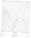
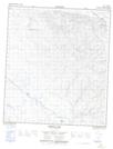
Maps showing Barlow Lake, Yukon
Barlow Lake is a Lake located in Yukon and has an elevation of 604 meters.
- Latitude: 63° 45' 0'' North (decimal: 63.75)
- Longitude: 137° 42' 48'' West (decimal: -137.7133333)
- Topography Feature Category: Lake
- Geographical Feature: Lake
- Canadian Province/Territory: Yukon
- Elevation: 604 meters
- Atlas of Canada Locator Map: Barlow Lake
- GPS Coordinate Locator Map: Barlow Lake Lat/Long
Barlow Lake NTS Map Sheets