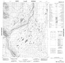
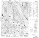
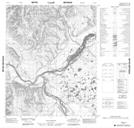
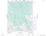
Maps showing Beaver Creek, Yukon
Beaver Creek is a River located in Yukon and has an elevation of 460 meters.
- Latitude: 65° 46' 43'' North (decimal: 65.7786111)
- Longitude: 135° 13' 22'' West (decimal: -135.2227778)
- Topography Feature Category: River
- Geographical Feature: Creek
- Canadian Province/Territory: Yukon
- Elevation: 460 meters
- Atlas of Canada Locator Map: Beaver Creek
- GPS Coordinate Locator Map: Beaver Creek Lat/Long
Beaver Creek NTS Map Sheets