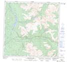
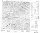
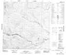
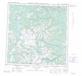
Maps showing Beaver Creek, Yukon
Beaver Creek is a River located in Yukon and has an elevation of 947 meters.
- Latitude: 60° 19' 44'' North (decimal: 60.3288888)
- Longitude: 130° 28' 9'' West (decimal: -130.4691666)
- Topography Feature Category: River
- Geographical Feature: Creek
- Canadian Province/Territory: Yukon
- Elevation: 947 meters
- Atlas of Canada Locator Map: Beaver Creek
- GPS Coordinate Locator Map: Beaver Creek Lat/Long
Beaver Creek NTS Map Sheets