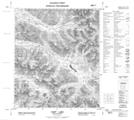
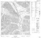
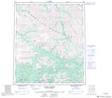
Maps showing Bond Creek, Yukon
Bond Creek is a River located in Yukon and has an elevation of 1084 meters.
- Latitude: 64° 48' 29'' North (decimal: 64.8080555)
- Longitude: 134° 41' 12'' West (decimal: -134.6866667)
- Topography Feature Category: River
- Geographical Feature: Creek
- Canadian Province/Territory: Yukon
- Elevation: 1084 meters
- Atlas of Canada Locator Map: Bond Creek
- GPS Coordinate Locator Map: Bond Creek Lat/Long
Bond Creek NTS Map Sheets