Canada Topographic Maps

Brown Bear Creek Topo Maps

Topography maps and Latitude/Longitude Location

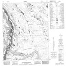
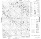
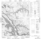
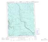
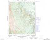
Maps showing Brown Bear Creek, Yukon

Brown Bear Creek is a River located in Yukon and has an elevation of 53 meters.

  • Latitude: 66° 39' 21'' North   (decimal: 66.6558333)
  • Longitude: 134° 24' 16'' West   (decimal: -134.4044444)
  • Topography Feature Category: River
  • Geographical Feature: Creek
  • Canadian Province/Territory: Yukon
  • Elevation: 53 meters
  • Atlas of Canada Locator Map: Brown Bear Creek
  • GPS Coordinate Locator Map: Brown Bear Creek Lat/Long

Brown Bear Creek NTS Map Sheets

106K05 No Title Topographic Map at 1:50,000 scale

106K12 No Title Topographic Map at 1:50,000 scale

106L09 Seguin Lakes Topographic Map at 1:50,000 scale

106K Martin House Topographic Map at 1:250,000 scale

106L Trail River Topographic Map at 1:250,000 scale

 
Buy Topographic Maps DVD
Newsletter Sign-up

Yes, I want to receive map store discounts.


Bookmark and Share