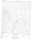
Maps showing Chapman Bar, Yukon
Chapman Bar is a Cape located in Yukon.
- Latitude: 63° 33' 24'' North (decimal: 63.5566666)
- Longitude: 137° 47' 24'' West (decimal: -137.79)
- Topography Feature Category: Cape
- Geographical Feature: Sand Point
- Canadian Province/Territory: Yukon
- Atlas of Canada Locator Map: Chapman Bar
- GPS Coordinate Locator Map: Chapman Bar Lat/Long
Chapman Bar NTS Map Sheets