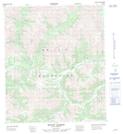
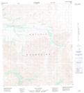
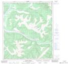
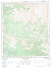
Maps showing Coal Creek, Yukon
Coal Creek is a River located in Yukon and has an elevation of 303 meters.
- Latitude: 64° 28' 45'' North (decimal: 64.4791666)
- Longitude: 140° 25' 9'' West (decimal: -140.4191667)
- Topography Feature Category: River
- Geographical Feature: Creek
- Canadian Province/Territory: Yukon
- Elevation: 303 meters
- Atlas of Canada Locator Map: Coal Creek
- GPS Coordinate Locator Map: Coal Creek Lat/Long
Coal Creek NTS Map Sheets

116C Map Not Available Topographic Map at 1:250,000 scale
