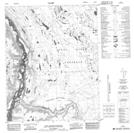
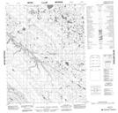
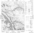
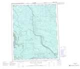
Maps showing Cooking Rocks Creek, Yukon
Cooking Rocks Creek is a River located in Yukon and has an elevation of 78 meters.
- Latitude: 66° 33' 58'' North (decimal: 66.5661111)
- Longitude: 134° 15' 18'' West (decimal: -134.255)
- Topography Feature Category: River
- Geographical Feature: Creek
- Canadian Province/Territory: Yukon
- Elevation: 78 meters
- Atlas of Canada Locator Map: Cooking Rocks Creek
- GPS Coordinate Locator Map: Cooking Rocks Creek Lat/Long
Cooking Rocks Creek NTS Map Sheets