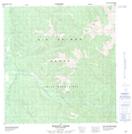
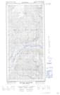
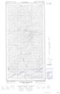
Maps showing D'Abbadie Creek, Yukon
D'Abbadie Creek is a River located in Yukon and has an elevation of 810 meters.
- Latitude: 61° 45' 52'' North (decimal: 61.7644444)
- Longitude: 134° 22' 24'' West (decimal: -134.3733333)
- Topography Feature Category: River
- Geographical Feature: Creek
- Canadian Province/Territory: Yukon
- Elevation: 810 meters
- Atlas of Canada Locator Map: D'Abbadie Creek
- GPS Coordinate Locator Map: D'Abbadie Creek Lat/Long
D'Abbadie Creek NTS Map Sheets