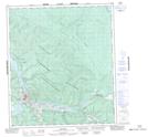
Maps showing Dog Island, Yukon
Dog Island is a Island located in Yukon and has an elevation of 313 meters.
- Latitude: 64° 6' 9'' North (decimal: 64.1025)
- Longitude: 139° 27' 24'' West (decimal: -139.4566667)
- Topography Feature Category: Island
- Geographical Feature: Island
- Canadian Province/Territory: Yukon
- Elevation: 313 meters
- Atlas of Canada Locator Map: Dog Island
- GPS Coordinate Locator Map: Dog Island Lat/Long