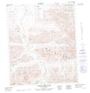
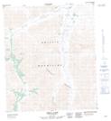
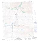
Maps showing East Blackstone River, Yukon
East Blackstone River is a River located in Yukon and has an elevation of 966 meters.
- Latitude: 64° 50' 9'' North (decimal: 64.8358333)
- Longitude: 138° 21' 18'' West (decimal: -138.355)
- Topography Feature Category: River
- Geographical Feature: River
- Canadian Province/Territory: Yukon
- Elevation: 966 meters
- Atlas of Canada Locator Map: East Blackstone River
- GPS Coordinate Locator Map: East Blackstone River Lat/Long
East Blackstone River NTS Map Sheets