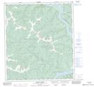
Maps showing Empire Creek, Yukon
Empire Creek is a River located in Yukon and has an elevation of 768 meters.
- Latitude: 64° 2' 57'' North (decimal: 64.0491666)
- Longitude: 139° 41' 31'' West (decimal: -139.6919444)
- Topography Feature Category: River
- Geographical Feature: Creek
- Canadian Province/Territory: Yukon
- Elevation: 768 meters
- Atlas of Canada Locator Map: Empire Creek
- GPS Coordinate Locator Map: Empire Creek Lat/Long