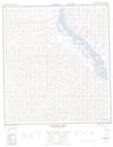
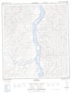
Maps showing Five Mile Creek, Yukon
Five Mile Creek is a River located in Yukon.
- Latitude: 63° 32' 10'' North (decimal: 63.5361111)
- Longitude: 139° 50' 40'' West (decimal: -139.8444444)
- Topography Feature Category: River
- Geographical Feature: Creek
- Canadian Province/Territory: Yukon
- Atlas of Canada Locator Map: Five Mile Creek
- GPS Coordinate Locator Map: Five Mile Creek Lat/Long
Five Mile Creek NTS Map Sheets