Maps showing Foxy Creek, Yukon
Foxy Creek is a River located in Yukon.
- Latitude: 64° 38' 57'' North (decimal: 64.6491666)
- Longitude: 138° 22' 29'' West (decimal: -138.3747222)
- Topography Feature Category: River
- Geographical Feature: Creek
- Canadian Province/Territory: Yukon
- Atlas of Canada Locator Map: Foxy Creek
- GPS Coordinate Locator Map: Foxy Creek Lat/Long
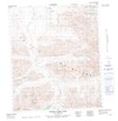
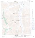
Foxy Creek NTS Map Sheets