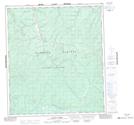
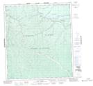
Maps showing Gold Bottom Gulch, Yukon
Gold Bottom Gulch is a Valley located in Yukon and has an elevation of 922 meters.
- Latitude: 63° 53' 45'' North (decimal: 63.8958333)
- Longitude: 139° 1' 5'' West (decimal: -139.0180556)
- Topography Feature Category: Valley
- Geographical Feature: Gulch
- Canadian Province/Territory: Yukon
- Elevation: 922 meters
- Atlas of Canada Locator Map: Gold Bottom Gulch
- GPS Coordinate Locator Map: Gold Bottom Gulch Lat/Long
Gold Bottom Gulch NTS Map Sheets