Maps showing Grayling Creek, Yukon
Grayling Creek is a River located in Yukon and has an elevation of 1031 meters.
- Latitude: 62° 17' 40'' North (decimal: 62.2944444)
- Longitude: 139° 27' 47'' West (decimal: -139.4630556)
- Topography Feature Category: River
- Geographical Feature: Creek
- Canadian Province/Territory: Yukon
- Elevation: 1031 meters
- Atlas of Canada Locator Map: Grayling Creek
- GPS Coordinate Locator Map: Grayling Creek Lat/Long
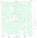
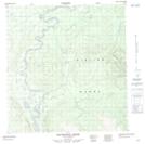
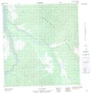
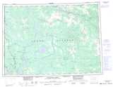
Grayling Creek NTS Map Sheets