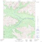
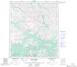
Maps showing Grey Copper Hill, Yukon
Grey Copper Hill is a Mountain located in Yukon and has an elevation of 1388 meters.
- Latitude: 64° 25' 53'' North (decimal: 64.4313888)
- Longitude: 135° 15' 30'' West (decimal: -135.2583333)
- Topography Feature Category: Mountain
- Geographical Feature: Hill
- Canadian Province/Territory: Yukon
- Elevation: 1388 meters
- Atlas of Canada Locator Map: Grey Copper Hill
- GPS Coordinate Locator Map: Grey Copper Hill Lat/Long
Grey Copper Hill NTS Map Sheets