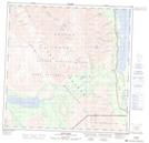
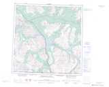
Maps showing Gribbles Gulch, Yukon
Gribbles Gulch is a River located in Yukon and has an elevation of 811 meters.
- Latitude: 60° 18' 22'' North (decimal: 60.3061111)
- Longitude: 137° 0' 34'' West (decimal: -137.0094444)
- Topography Feature Category: River
- Geographical Feature: Gulch
- Canadian Province/Territory: Yukon
- Elevation: 811 meters
- Atlas of Canada Locator Map: Gribbles Gulch
- GPS Coordinate Locator Map: Gribbles Gulch Lat/Long
Gribbles Gulch NTS Map Sheets