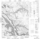
Maps showing Gwachoo Slough, Yukon
Gwachoo Slough is a River feature located in Yukon and has an elevation of 29 meters.
- Latitude: 66° 37' 14'' North (decimal: 66.6205555)
- Longitude: 134° 23' 48'' West (decimal: -134.3966667)
- Topography Feature Category: River feature
- Geographical Feature: Slough
- Canadian Province/Territory: Yukon
- Elevation: 29 meters
- Atlas of Canada Locator Map: Gwachoo Slough
- GPS Coordinate Locator Map: Gwachoo Slough Lat/Long
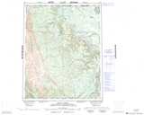
Gwachoo Slough NTS Map Sheets