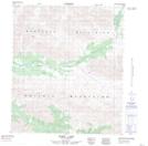
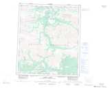
Maps showing Mount Hoffman, Yukon
Mount Hoffman is a Mountain located in Yukon.
- Latitude: 64° 28' 34'' North (decimal: 64.4761111)
- Longitude: 136° 20' 2'' West (decimal: -136.3338889)
- Topography Feature Category: Mountain
- Geographical Feature: Mount
- Canadian Province/Territory: Yukon
- Atlas of Canada Locator Map: Mount Hoffman
- GPS Coordinate Locator Map: Mount Hoffman Lat/Long
Mount Hoffman NTS Map Sheets