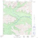
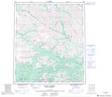
Maps showing Horseshoe Hill, Yukon
Horseshoe Hill is a Mountain located in Yukon and has an elevation of 1651 meters.
- Latitude: 64° 21' 26'' North (decimal: 64.3572222)
- Longitude: 135° 21' 1'' West (decimal: -135.3502778)
- Topography Feature Category: Mountain
- Geographical Feature: Hill
- Canadian Province/Territory: Yukon
- Elevation: 1651 meters
- Atlas of Canada Locator Map: Horseshoe Hill
- GPS Coordinate Locator Map: Horseshoe Hill Lat/Long
Horseshoe Hill NTS Map Sheets