Canada Topographic Maps

Hunker Creek Topo Maps

Topography maps and Latitude/Longitude Location

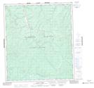
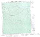
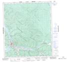
Maps showing Hunker Creek, Yukon

Hunker Creek is a River located in Yukon and has an elevation of 400 meters.

  • Latitude: 64° 2' 6'' North   (decimal: 64.035)
  • Longitude: 139° 12' 42'' West   (decimal: -139.2116667)
  • Topography Feature Category: River
  • Geographical Feature: Creek
  • Canadian Province/Territory: Yukon
  • Elevation: 400 meters
  • Atlas of Canada Locator Map: Hunker Creek
  • GPS Coordinate Locator Map: Hunker Creek Lat/Long

Hunker Creek NTS Map Sheets

115O14 Grand Forks Topographic Map at 1:50,000 scale

115O15 Flat Creek Topographic Map at 1:50,000 scale

116B03 Dawson Topographic Map at 1:50,000 scale

115O Stewart River Topographic Map at 1:250,000 scale

116B Dawson Topographic Map at 1:250,000 scale

 
Buy Topographic Maps DVD
Newsletter Sign-up

Yes, I want to receive map store discounts.


Bookmark and Share