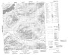
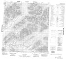
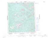
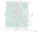
Maps showing Husky Dog Creek, Yukon
Husky Dog Creek is a River located in Yukon and has an elevation of 1046 meters.
- Latitude: 63° 5' 44'' North (decimal: 63.0955555)
- Longitude: 132° 27' 49'' West (decimal: -132.4636111)
- Topography Feature Category: River
- Geographical Feature: Creek
- Canadian Province/Territory: Yukon
- Elevation: 1046 meters
- Atlas of Canada Locator Map: Husky Dog Creek
- GPS Coordinate Locator Map: Husky Dog Creek Lat/Long
Husky Dog Creek NTS Map Sheets