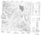
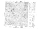
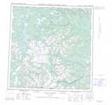
Maps showing Ice Lakes Creek, Yukon
Ice Lakes Creek is a River located in Yukon and has an elevation of 1214 meters.
- Latitude: 60° 19' 25'' North (decimal: 60.3236111)
- Longitude: 131° 32' 32'' West (decimal: -131.5422222)
- Topography Feature Category: River
- Geographical Feature: Creek
- Canadian Province/Territory: Yukon
- Elevation: 1214 meters
- Atlas of Canada Locator Map: Ice Lakes Creek
- GPS Coordinate Locator Map: Ice Lakes Creek Lat/Long
Ice Lakes Creek NTS Map Sheets