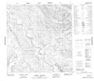
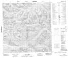
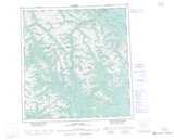
Maps showing Indian River, Yukon
Indian River is a River located in Yukon and has an elevation of 759 meters.
- Latitude: 61° 4' 14'' North (decimal: 61.0705555)
- Longitude: 134° 13' 4'' West (decimal: -134.2177778)
- Topography Feature Category: River
- Geographical Feature: River
- Canadian Province/Territory: Yukon
- Elevation: 759 meters
- Atlas of Canada Locator Map: Indian River
- GPS Coordinate Locator Map: Indian River Lat/Long
Indian River NTS Map Sheets