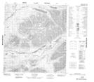
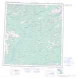
Maps showing John Lake, Yukon
John Lake is a Lake located in Yukon and has an elevation of 894 meters.
- Latitude: 62° 49' 11'' North (decimal: 62.8197222)
- Longitude: 130° 21' 50'' West (decimal: -130.3638889)
- Topography Feature Category: Lake
- Geographical Feature: Lake
- Canadian Province/Territory: Yukon
- Elevation: 894 meters
- Atlas of Canada Locator Map: John Lake
- GPS Coordinate Locator Map: John Lake Lat/Long
John Lake NTS Map Sheets