Maps showing Mount Landreville, Yukon
Mount Landreville is a Mountain located in Yukon.
- Latitude: 65° 9' 22'' North (decimal: 65.1561111)
- Longitude: 132° 53' 50'' West (decimal: -132.8972222)
- Topography Feature Category: Mountain
- Geographical Feature: Mount
- Canadian Province/Territory: Yukon
- Atlas of Canada Locator Map: Mount Landreville
- GPS Coordinate Locator Map: Mount Landreville Lat/Long
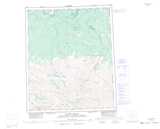
Mount Landreville NTS Map Sheets