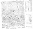
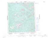
Maps showing Lansing, Yukon
Lansing is a Unincorporated area located in Yukon.
- Latitude: 63° 44' 28'' North (decimal: 63.7411111)
- Longitude: 133° 27' 53'' West (decimal: -133.4647222)
- Topography Feature Category: Unincorporated area
- Geographical Feature: Locality
- Canadian Province/Territory: Yukon
- Atlas of Canada Locator Map: Lansing
- GPS Coordinate Locator Map: Lansing Lat/Long
Lansing NTS Map Sheets