Canada Topographic Maps

Lomond Creek Topo Maps

Topography maps and Latitude/Longitude Location

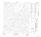
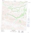
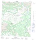
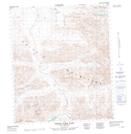
Maps showing Lomond Creek, Yukon

Lomond Creek is a River located in Yukon.

  • Latitude: 64° 55' 50'' North   (decimal: 64.9305999)
  • Longitude: 137° 3' 40'' West   (decimal: -137.0611000)
  • Topography Feature Category: River
  • Geographical Feature: Creek
  • Canadian Province/Territory: Yukon
  • GPS Coordinate Locator Map: Lomond Creek Lat/Long

Lomond Creek NTS Map Sheets

116A11 Two Beaver Lake Topographic Map at 1:50,000 scale

116A12 Lomond Creek Topographic Map at 1:50,000 scale

116A14 West Hart River Topographic Map at 1:50,000 scale

116B09 North Fork Pass Topographic Map at 1:50,000 scale

116A Larsen Creek Topographic Map at 1:250,000 scale

116B Dawson Topographic Map at 1:250,000 scale

 
Buy Topographic Maps DVD
Newsletter Sign-up

Yes, I want to receive map store discounts.


Bookmark and Share