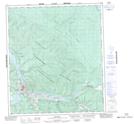
Maps showing Lovett Gulch, Yukon
Lovett Gulch is a Valley located in Yukon and has an elevation of 510 meters.
- Latitude: 64° 1' 7'' North (decimal: 64.0186111)
- Longitude: 139° 21' 19'' West (decimal: -139.3552778)
- Topography Feature Category: Valley
- Geographical Feature: Gulch
- Canadian Province/Territory: Yukon
- Elevation: 510 meters
- Atlas of Canada Locator Map: Lovett Gulch
- GPS Coordinate Locator Map: Lovett Gulch Lat/Long