Canada Topographic Maps

Lowell Glacier Topo Maps

Topography maps and Latitude/Longitude Location

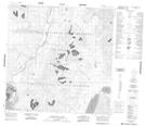
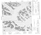
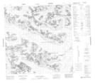
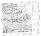
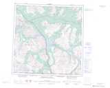
Maps showing Lowell Glacier, Yukon

Lowell Glacier is a Glacier located in Yukon and has an elevation of 1337 meters.

  • Latitude: 60° 18' North   (decimal: 60.3)
  • Longitude: 138° 15' West   (decimal: -138.25)
  • Topography Feature Category: Glacier
  • Geographical Feature: Glacier
  • Canadian Province/Territory: Yukon
  • Elevation: 1337 meters
  • Atlas of Canada Locator Map: Lowell Glacier
  • GPS Coordinate Locator Map: Lowell Glacier Lat/Long

Lowell Glacier NTS Map Sheets

115A05 Cottonwood Lakes Topographic Map at 1:50,000 scale

115B02 Ulu Mountain Topographic Map at 1:50,000 scale

115B07 Mount Kennedy Topographic Map at 1:50,000 scale

115B08 Felsite Glacier Topographic Map at 1:50,000 scale

115A Dezadeash Range Topographic Map at 1:250,000 scale

115B Mount St Elias Topographic Map at 1:250,000 scale

 
Buy Topographic Maps DVD
Newsletter Sign-up

Yes, I want to receive map store discounts.


Bookmark and Share