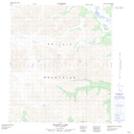
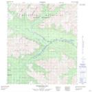
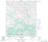
Maps showing McLean Creek, Yukon
McLean Creek is a River located in Yukon and has an elevation of 1184 meters.
- Latitude: 64° 24' 34'' North (decimal: 64.4094444)
- Longitude: 135° 18' 24'' West (decimal: -135.3066667)
- Topography Feature Category: River
- Geographical Feature: Creek
- Canadian Province/Territory: Yukon
- Elevation: 1184 meters
- Atlas of Canada Locator Map: McLean Creek
- GPS Coordinate Locator Map: McLean Creek Lat/Long
McLean Creek NTS Map Sheets