Maps showing Mount Mervyn, Yukon
Mount Mervyn is a Mountain located in Yukon.
- Latitude: 64° 7' 53'' North (decimal: 64.1313888)
- Longitude: 133° 50' 24'' West (decimal: -133.84)
- Topography Feature Category: Mountain
- Geographical Feature: Mount
- Canadian Province/Territory: Yukon
- Atlas of Canada Locator Map: Mount Mervyn
- GPS Coordinate Locator Map: Mount Mervyn Lat/Long
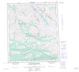
Mount Mervyn NTS Map Sheets