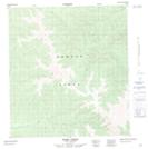
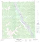
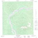
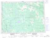
Maps showing Mickey Creek, Yukon
Mickey Creek is a River located in Yukon.
- Latitude: 63° 1' 30'' North (decimal: 63.025)
- Longitude: 140° 17' 11'' West (decimal: -140.2863889)
- Topography Feature Category: River
- Geographical Feature: Creek
- Canadian Province/Territory: Yukon
- Atlas of Canada Locator Map: Mickey Creek
- GPS Coordinate Locator Map: Mickey Creek Lat/Long
Mickey Creek NTS Map Sheets
115K Map Not Available Topographic Map at 1:250,000 scale
115N Map Not Available Topographic Map at 1:250,000 scale
