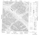
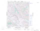
Maps showing Misty Lake, Yukon
Misty Lake is a Lake located in Yukon and has an elevation of 1241 meters.
- Latitude: 64° 10' 47'' North (decimal: 64.1797222)
- Longitude: 131° 19' 39'' West (decimal: -131.3275)
- Topography Feature Category: Lake
- Geographical Feature: Lake
- Canadian Province/Territory: Yukon
- Elevation: 1241 meters
- Atlas of Canada Locator Map: Misty Lake
- GPS Coordinate Locator Map: Misty Lake Lat/Long
Misty Lake NTS Map Sheets