Canada Topographic Maps

North Macmillan River Topo Maps

Topography maps and Latitude/Longitude Location

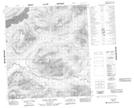
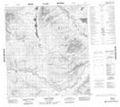
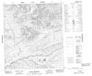
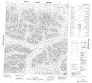
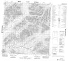
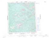
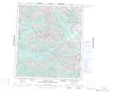
Maps showing North Macmillan River, Yukon

North Macmillan River is a River located in Yukon and has an elevation of 689 meters.

  • Latitude: 63° 2' 37'' North   (decimal: 63.0436111)
  • Longitude: 133° 17' 59'' West   (decimal: -133.2997222)
  • Topography Feature Category: River
  • Geographical Feature: River
  • Canadian Province/Territory: Yukon
  • Elevation: 689 meters
  • Atlas of Canada Locator Map: North Macmillan River
  • GPS Coordinate Locator Map: North Macmillan River Lat/Long

North Macmillan River NTS Map Sheets

105N01 Husky Dog Creek Topographic Map at 1:50,000 scale

105N02 Barr Creek Topographic Map at 1:50,000 scale

105N03 Mount Armstrong Topographic Map at 1:50,000 scale

105O03 No Title Topographic Map at 1:50,000 scale

105O04 No Title Topographic Map at 1:50,000 scale

105N Lansing Range Topographic Map at 1:250,000 scale

105O Niddery Lake Topographic Map at 1:250,000 scale

 
Buy Topographic Maps DVD
Newsletter Sign-up

Yes, I want to receive map store discounts.


Bookmark and Share