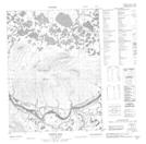
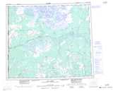
Maps showing Nothlah Hill, Yukon
Nothlah Hill is a Mountain located in Yukon.
- Latitude: 67° 37' 48'' North (decimal: 67.6299999)
- Longitude: 139° 16' 37'' West (decimal: -139.2769444)
- Topography Feature Category: Mountain
- Geographical Feature: Hill
- Canadian Province/Territory: Yukon
- Atlas of Canada Locator Map: Nothlah Hill
- GPS Coordinate Locator Map: Nothlah Hill Lat/Long
Nothlah Hill NTS Map Sheets