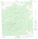
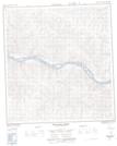
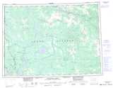
Maps showing Patton Gulch, Yukon
Patton Gulch is a Valley located in Yukon.
- Latitude: 62° 45' 39'' North (decimal: 62.7608333)
- Longitude: 138° 51' 49'' West (decimal: -138.8636111)
- Topography Feature Category: Valley
- Geographical Feature: Gulch
- Canadian Province/Territory: Yukon
- Atlas of Canada Locator Map: Patton Gulch
- GPS Coordinate Locator Map: Patton Gulch Lat/Long
Patton Gulch NTS Map Sheets