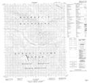
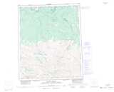
Maps showing Mount Phelps, Yukon
Mount Phelps is a Mountain located in Yukon.
- Latitude: 65° 3' 51'' North (decimal: 65.0641666)
- Longitude: 133° 56' 36'' West (decimal: -133.9433333)
- Topography Feature Category: Mountain
- Geographical Feature: Mount
- Canadian Province/Territory: Yukon
- Atlas of Canada Locator Map: Mount Phelps
- GPS Coordinate Locator Map: Mount Phelps Lat/Long
Mount Phelps NTS Map Sheets