Maps showing Rogue River, Yukon
Rogue River is a River located in Yukon and has an elevation of 666 meters.
- Latitude: 63° 25' 22'' North (decimal: 63.4227777)
- Longitude: 132° 29' 46'' West (decimal: -132.4961111)
- Topography Feature Category: River
- Geographical Feature: River
- Canadian Province/Territory: Yukon
- Elevation: 666 meters
- Atlas of Canada Locator Map: Rogue River
- GPS Coordinate Locator Map: Rogue River Lat/Long
Rogue River NTS Map Sheets
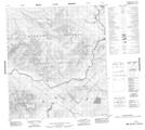
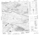
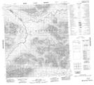
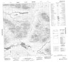
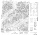
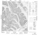
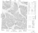
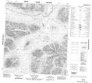
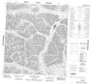
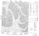
105N07 No Title Topographic Map at 1:50,000 scale
105N08 No Title Topographic Map at 1:50,000 scale
105N09 West Lake Topographic Map at 1:50,000 scale
105N10 Pleasant Lake Topographic Map at 1:50,000 scale
105O04 No Title Topographic Map at 1:50,000 scale
105O10 Elmer Creek Topographic Map at 1:50,000 scale
105O11 Arrowhead Lake Topographic Map at 1:50,000 scale
105O12 Fango Lake Topographic Map at 1:50,000 scale
105O13 Einarson Creek Topographic Map at 1:50,000 scale
105O14 Marmot Creek Topographic Map at 1:50,000 scale
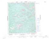
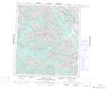
105N Lansing Range Topographic Map at 1:250,000 scale
105O Niddery Lake Topographic Map at 1:250,000 scale