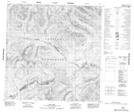
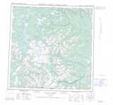
Maps showing Roy Lake, Yukon
Roy Lake is a Lake located in Yukon and has an elevation of 1150 meters.
- Latitude: 60° 17' 30'' North (decimal: 60.2916666)
- Longitude: 130° 47' 35'' West (decimal: -130.7930556)
- Topography Feature Category: Lake
- Geographical Feature: Lake
- Canadian Province/Territory: Yukon
- Elevation: 1150 meters
- Atlas of Canada Locator Map: Roy Lake
- GPS Coordinate Locator Map: Roy Lake Lat/Long