Canada Topographic Maps

Sixty Mile River Topo Maps

Topography maps and Latitude/Longitude Location

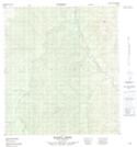
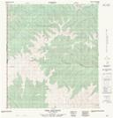
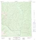
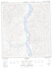
Maps showing Sixty Mile River, Yukon

Sixty Mile River is a River located in Yukon and has an elevation of 445 meters.

  • Latitude: 63° 33' 48'' North   (decimal: 63.5633333)
  • Longitude: 139° 45' 54'' West   (decimal: -139.765)
  • Topography Feature Category: River
  • Geographical Feature: River
  • Canadian Province/Territory: Yukon
  • Elevation: 445 meters
  • Atlas of Canada Locator Map: Sixty Mile River
  • GPS Coordinate Locator Map: Sixty Mile River Lat/Long

Sixty Mile River NTS Map Sheets

115N09 Matson Creek Topographic Map at 1:50,000 scale

115N15 Crag Mountain Topographic Map at 1:50,000 scale

115N16 Enchantment Creek Topographic Map at 1:50,000 scale

115O12 Ogilvie Topographic Map at 1:50,000 scale

116C01 California Creek Topographic Map at 1:50,000 scale

116C02 Sixtymile Topographic Map at 1:50,000 scale

115O Stewart River Topographic Map at 1:250,000 scale

115N Map Not Available Topographic Map at 1:250,000 scale

116C Map Not Available Topographic Map at 1:250,000 scale

 
Buy Topographic Maps DVD
Newsletter Sign-up

Yes, I want to receive map store discounts.


Bookmark and Share