Maps showing Snake River, Yukon
Snake River is a River located in Yukon and has an elevation of 129 meters.
- Latitude: 65° 59' 3'' North (decimal: 65.9841666)
- Longitude: 134° 11' 46'' West (decimal: -134.1961111)
- Topography Feature Category: River
- Geographical Feature: River
- Canadian Province/Territory: Yukon
- Elevation: 129 meters
- Atlas of Canada Locator Map: Snake River
- GPS Coordinate Locator Map: Snake River Lat/Long
Snake River NTS Map Sheets
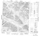
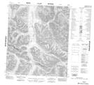
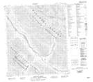
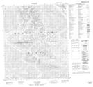
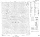
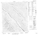
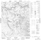
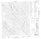
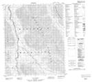
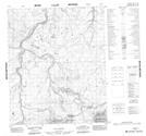
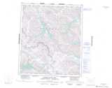
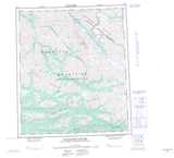
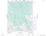
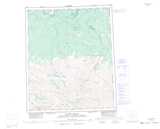
106B05 No Title Topographic Map at 1:50,000 scale
106B12 No Title Topographic Map at 1:50,000 scale
106C09 Reptile Creek Topographic Map at 1:50,000 scale
106C10 No Title Topographic Map at 1:50,000 scale
106C14 No Title Topographic Map at 1:50,000 scale
106C15 No Title Topographic Map at 1:50,000 scale
106E16 Solo Lake Topographic Map at 1:50,000 scale
106F03 No Title Topographic Map at 1:50,000 scale
106F06 No Title Topographic Map at 1:50,000 scale
106F11 No Title Topographic Map at 1:50,000 scale
106F13 No Title Topographic Map at 1:50,000 scale
106F14 No Title Topographic Map at 1:50,000 scale
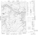
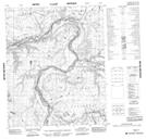
106B Bonnet Plume Lake Topographic Map at 1:250,000 scale
106C Nadaleen River Topographic Map at 1:250,000 scale
106E Wind River Topographic Map at 1:250,000 scale
106F Snake River Topographic Map at 1:250,000 scale