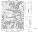
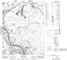
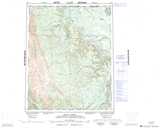
Maps showing Three Cabin Creek, Yukon
Three Cabin Creek is a River located in Yukon and has an elevation of 30 meters.
- Latitude: 66° 53' 1'' North (decimal: 66.8836111)
- Longitude: 134° 59' 16'' West (decimal: -134.9877778)
- Topography Feature Category: River
- Geographical Feature: Creek
- Canadian Province/Territory: Yukon
- Elevation: 30 meters
- Atlas of Canada Locator Map: Three Cabin Creek
- GPS Coordinate Locator Map: Three Cabin Creek Lat/Long
Three Cabin Creek NTS Map Sheets