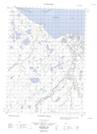
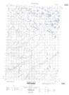
Maps showing Trent Bay, Yukon
Trent Bay is a Bay located in Yukon.
- Latitude: 68° 56' 38'' North (decimal: 68.9438888)
- Longitude: 137° 13' 41'' West (decimal: -137.2280556)
- Topography Feature Category: Bay
- Geographical Feature: Bay
- Canadian Province/Territory: Yukon
- Atlas of Canada Locator Map: Trent Bay
- GPS Coordinate Locator Map: Trent Bay Lat/Long
Trent Bay NTS Map Sheets