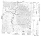
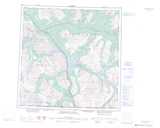
Maps showing Trout Lake, Yukon
Trout Lake is a Lake located in Yukon and has an elevation of 780 meters.
- Latitude: 60° 31' 19'' North (decimal: 60.5219444)
- Longitude: 137° 42' 29'' West (decimal: -137.7080556)
- Topography Feature Category: Lake
- Geographical Feature: Lake
- Canadian Province/Territory: Yukon
- Elevation: 780 meters
- Atlas of Canada Locator Map: Trout Lake
- GPS Coordinate Locator Map: Trout Lake Lat/Long
Trout Lake NTS Map Sheets